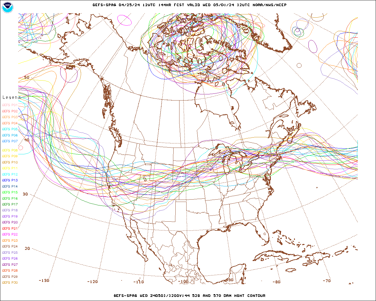
This is what it will look like on Saturday, just before the cutoff low
starts to form:
http://mag.ncep.noaa.gov/data/gefs-spag/12/gefs-spag_namer_144_500_528_570_ht.gif
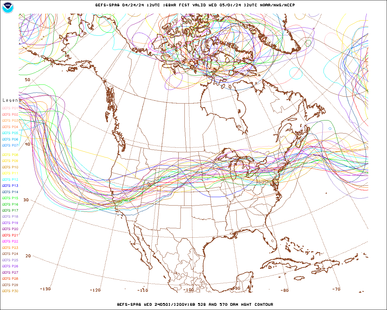
and then on Sunday, as it's forming:
http://mag.ncep.noaa.gov/data/gefs-spag/12/gefs-spag_namer_168_500_528_570_ht.gif
After that it's a real mess.
>
>Jet stream is following another nice "little" 980hPa low headed for
>Vancouver Isl. Strongest winds to the north of us this time. These NE
>Pacific lows make hurricanes look like little zits.
>
><https://1.bp.blogspot.com/-Fd-TecRYkX8/XB7Edt4AXDI/AAAAAAAAzzY/palHYxoUFUsQXZPy9qZroIpSQvRJFEpkQCEwYBhgL/s1600/modisbig.tiff>
>
Chris
When the going gets weird, the weird turn pro
- Hunter S. Thompson
--
_________________________________________________________________
Options: http://lists.thomasclausen.net/mailman/listinfo/olympus
Archives: http://lists.thomasclausen.net/mailman/private/olympus/
Themed Olympus Photo Exhibition: http://www.tope.nl/
|